
Flora and fauna survey levels
How EPA WA guidance sets reconnaissance, basic, detailed and targeted flora and fauna surveys, when each is used, survey timing and what reports need.
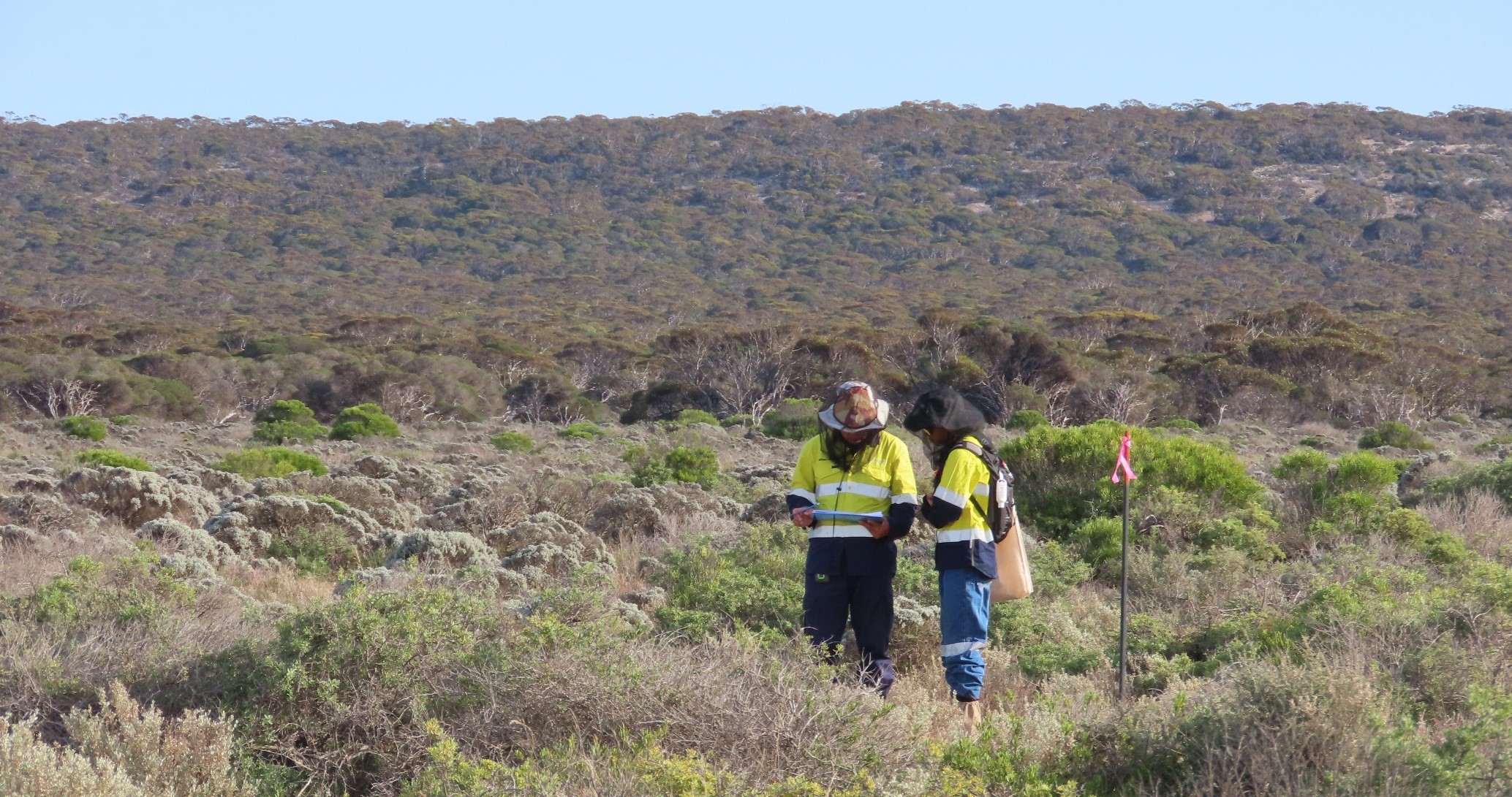
Many environmental approvals in Western Australia rely on field surveys that record the plants, vegetation and animals on a site. The EPA sets out how those flora and fauna surveys should be scoped, timed and reported, and the level of survey it expects depends on the site, the bioregion and the risk to significant species.
This guide explains the reconnaissance, basic, detailed and targeted survey levels in the EPA's technical guidance. If you need surveys for a project, our botanical survey and fauna survey teams can help you scope them. For advice on a specific site, talk to our environmental consultants in Perth.
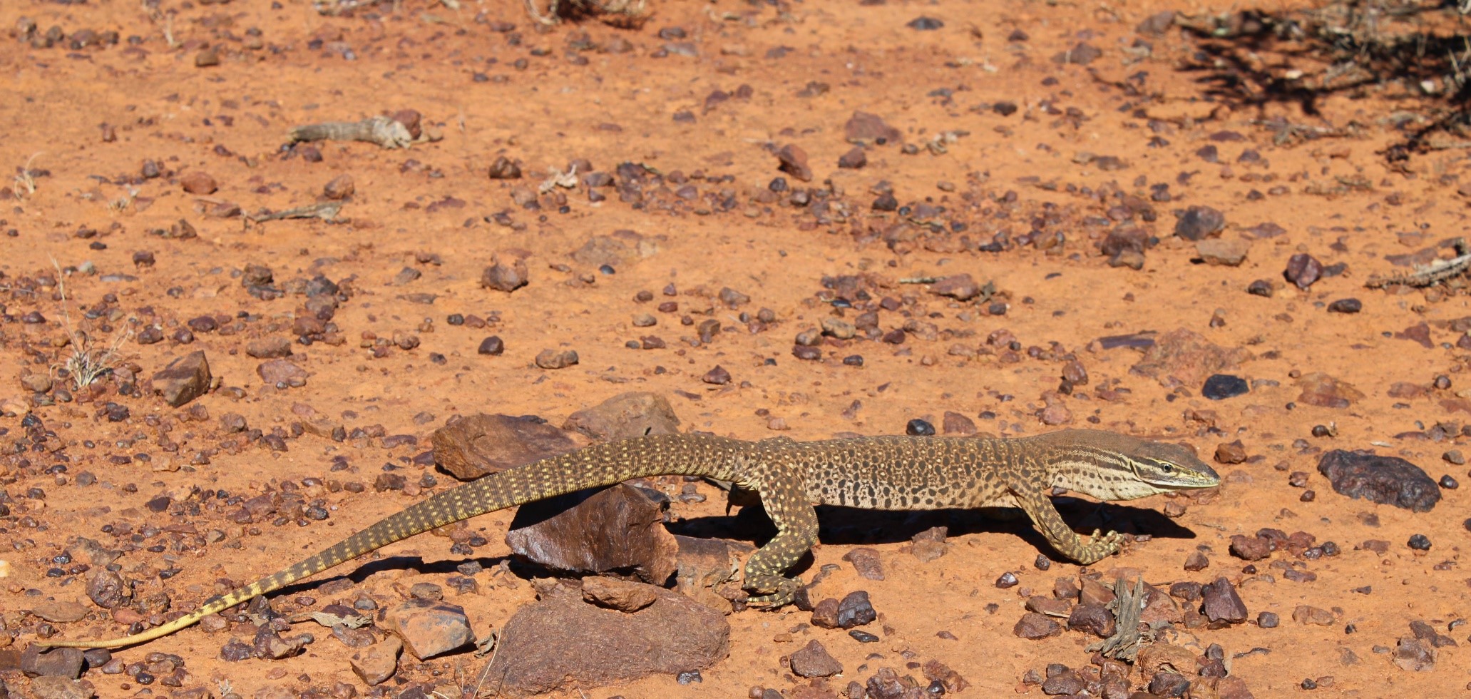

Proposals in Western Australia that may affect native vegetation or fauna habitat often need a biological survey to support an EPA referral or a clearing permit application. The Environmental Protection Authority (EPA) sets out how those surveys should be planned, carried out and reported in two technical guidance documents, one for flora and vegetation and one for terrestrial vertebrate fauna. This guide explains the survey levels in each document, when each is used and what a regulator expects to see in the report.
Survey levels at a glance
Both EPA documents describe three levels of field survey after a desktop study, but the lowest level is called a reconnaissance survey for flora and a basic survey for fauna.
| Level | Flora and vegetation guidance (2016) | Terrestrial fauna guidance (2020) | Typically used when |
|---|---|---|---|
| Lowest intensity | Reconnaissance survey: a low-intensity site visit by an experienced botanist | Basic survey: low intensity, at the local scale; checks the desktop study and maps fauna habitats | Broad context is needed and significant flora or vegetation is unlikely; for fauna, basic and targeted surveys usually suffice on the Swan Coastal Plain and Jarrah Forest |
| Detailed | Detailed survey: comprehensive design, at least three quadrats in each vegetation unit | Detailed survey: at least two complementary phases, at least seven days of trapping per phase, per method | Significant proposals, high diversity or significant values; the minimum for fauna where conservation reserves may be affected |
| Targeted | Targeted survey: timed for when target taxa can be identified, usually flowering | Targeted survey: may need more than one visit | Information is needed on significant species or habitats, such as threatened or priority species |
Start with a desktop study
Both EPA documents treat a desktop study as the first step. The fauna guidance describes a desktop study as a typical prerequisite for surveys and EIA, and both documents state that "a desktop study is not a survey".
A desktop study pulls together existing records and reports for the area and its surroundings. The flora guidance recommends a wide search area for database queries and lists sources such as NatureMap, FloraBase, the EPBC Act threatened species lists and the State's threatened and priority flora databases. The fauna guidance asks that each source be checked for reliability, including the source and age of the information. The results are used to decide which type of field survey is needed.
Flora and vegetation surveys: reconnaissance, detailed and targeted
The EPA's Technical Guidance: Flora and Vegetation Surveys for Environmental Impact Assessment (December 2016) describes three survey types. It uses the term reconnaissance for the lowest-intensity survey.
- Reconnaissance survey. Used to provide context and gather broad information about a survey area. It is a low-intensity site visit by an experienced botanist, generally used where values are well defined and significant flora or vegetation is unlikely.
- Detailed survey. The guidance says a detailed survey is needed for significant proposals. Triggers include high diversity, restricted landforms, significant values, little previous survey effort and likely significant impacts. It requires a comprehensive survey design.
- Targeted survey. Used to gather comprehensive information on significant flora or vegetation, such as threatened or priority species. It is timed for when the target taxa are most detectable and identifiable in the field, which is usually when they are flowering.
Quadrats and relevés
Detailed flora surveys are built around quadrats. The guidance describes quadrats as an essential part of any detailed survey, recommends square quadrats so datasets can be compared, and says a minimum of three quadrats should be sampled in each vegetation unit. Table 1 gives indicative quadrat sizes by bioregion, with 10 m by 10 m quadrats for the Swan Coastal Plain, Jarrah Forest, Geraldton Sandplains and Warren bioregions.
Relevés are a lower-intensity technique for reconnaissance surveys. The guidance says they should not be treated as a primary sampling technique.
When flora surveys are done
Table 3 of the flora guidance sets the preferred timing by region:
| Region | Primary survey | Supplementary survey |
|---|---|---|
| South-West and Interzone | Spring (September to November) | After autumn rains |
| Eremaean | Six to eight weeks after the wet season (March to June) | Dry season |
| Northern | Wet season (January to March) | After the wet season |
The guidance adds that more than one primary survey may be needed if the area has been affected by flooding, drought or fire. For projects around Perth, this usually means planning flora work well ahead so it can fall in spring.
Fauna surveys: basic, detailed and targeted
The EPA's Technical Guidance: Terrestrial vertebrate fauna surveys for environmental impact assessment (June 2020) also names three survey types. Here the lowest level is called a basic survey.
- Basic survey. A low-intensity survey at the local scale that gathers broad fauna and habitat information. Its main purposes are to check the desktop study and to map and describe fauna habitats. The results show whether a detailed or targeted survey is needed.
- Detailed survey. Gathers quantitative data on species, assemblages and habitats. The guidance says a detailed survey for EIA should include at least two complementary survey phases, timed for the peak activity seasons in the bioregion, with at least one trapping site in each habitat type. It recommends at least seven days of trapping per phase, per method.
- Targeted survey. Gathers information on significant fauna or habitats, such as a threatened species, its movements or a specific knowledge gap. It may need more than one visit where different species are detected at different times of year.
Which level applies
The fauna guidance links survey level to location and risk. Areas that intersect or may affect conservation reserves, including land recommended for reservation, need a detailed survey as a minimum. For the Swan Coastal Plain and Jarrah Forest bioregions, which the guidance describes as highly impacted but well understood, basic and targeted surveys are usually enough. Elsewhere in WA, proposals generally need detailed and targeted surveys because local data is scarcer.
When fauna surveys are done
Table 2 of the fauna guidance gives indicative timing. In the southern part of the State, for example, the primary period for reptiles is October to December, with February to March as a secondary period, and the main period for mammals is September to December. In the north, the primary phase is December to March, planned around local weather, and the secondary phase is April to August, before conditions become too dry.
Other survey guidance
The EPA publishes separate technical guidance for short-range endemic invertebrate fauna and for subterranean fauna. If a site has habitat for these groups, such as isolated rocky outcrops or aquifers, the survey scope may need to cover them as well.
Who can do the survey, and what licences apply
The flora guidance says the survey should be led by a botanist with at least five years' experience in botanical survey in the relevant bioregion, with less experienced team members supervised and their identifications checked. The fauna guidance says surveys should be coordinated and led by zoologists with experience in systematic fauna surveys and fauna identification.
Taking flora or fauna for a survey needs a licence under the Biodiversity Conservation Regulations 2018. Regulation 62 provides for a flora taking (biological assessment) licence, which covers inventory work done as part of environmental consulting services and collecting specimens for identification. Regulation 27 provides for a fauna taking (biological assessment) licence, which covers the same kind of consulting inventory work for fauna. Landholder or manager permission is also needed to access the site, and fauna work must meet animal welfare requirements.
What the report needs
The fauna guidance asks for a comprehensive, stand-alone report, and the flora guidance says the report should accurately reflect the information gained through the survey. Reports should set out survey dates, methods and effort, and discuss limitations such as survey timing, seasonal conditions and team experience. The flora guidance also says appendices with database searches and threatened and priority flora report forms should be marked for agency reference only.
Field survey data also has to be lodged with the State. The Department of Water and Environmental Regulation (DWER) runs the Index of Surveys for Assessment (ISA), which includes the Index of Biodiversity Surveys for Assessments (IBSA). An ISA data package is needed for field surveys used in assessments, including significant proposals, scheme amendments and native vegetation clearing permits. Since October 2025, packages are submitted through Environment Online. Desktop-only studies do not need a package.
How Trace Ecology helps
Trace Ecology carries out botanical surveys and flora assessments, fauna surveys and targeted threatened species surveys across WA and the NT. We can review existing data for your site, recommend a survey level with reference to the EPA guidance, plan field work around the right season and prepare reports for your approvals. See our terrestrial surveys and assessments page for the full range, or read about why flora and fauna surveys matter in urban growth areas and WA's threatened black cockatoos.
If you are planning a project and are not sure which surveys you need, or when they need to start, contact us.
Frequently asked questions
What is the difference between a reconnaissance and a detailed flora survey?
A reconnaissance survey is a low-intensity site visit that gathers broad information and is generally used where significant flora or vegetation is unlikely. A detailed survey uses a comprehensive design with quadrats, at least three in each vegetation unit, and the EPA says it is necessary for significant proposals.
When should a flora survey be done in Perth?
Perth is in the South-West region of the EPA flora guidance, where the primary survey period is spring (September to November), with a supplementary survey after autumn rains. Targeted surveys are timed for when the target species can be identified, usually when flowering.
How many seasons does a fauna survey need?
The EPA fauna guidance says a targeted survey usually involves one or more site visits, depending on when the target species can be detected. A detailed fauna survey for EIA should include at least two complementary survey phases, timed for the peak activity seasons in the bioregion.
Do I need a licence to do a flora or fauna survey in WA?
Yes, if the survey involves taking flora or fauna. The Biodiversity Conservation Regulations 2018 provide for a flora taking (biological assessment) licence and a fauna taking (biological assessment) licence, and landholder permission is needed to access the site.
This article is general information as at October 2026, not legal advice.
References
All accessed 23 October 2026.
- Environmental Protection Authority, Technical Guidance: Flora and Vegetation Surveys for Environmental Impact Assessment, December 2016 (sections 2 to 6 and 10; Tables 1 and 3). epa.wa.gov.au: flora and vegetation survey guidance
- Environmental Protection Authority, Technical Guidance: Terrestrial vertebrate fauna surveys for environmental impact assessment, Version 1.0, June 2020 (sections 2 to 5, 8 and 12; Table 2). epa.wa.gov.au: terrestrial vertebrate fauna survey guidance (PDF)
- Environmental Protection Authority, Technical guidance (list of current technical guidance, including short-range endemic invertebrate and subterranean fauna guidance). epa.wa.gov.au: technical guidance
- Biodiversity Conservation Regulations 2018 (WA), version 00-i0-00, current from 31 March 2025, regulations 27 and 62. legislation.wa.gov.au: Biodiversity Conservation Regulations 2018
- Department of Water and Environmental Regulation, Program: Index of Surveys for Assessments (last updated 13 October 2025). wa.gov.au: IBSA program
Other latest news












Talk to our team
Our archaeologists, ecologists and town planners can tell you what this means for your site.