Safeguarding Bells Rapids: Level 2 Invasive Flora Assessment for the City of Swan
The City of Swan, with its verdant landscapes and thriving ecosystems, is home to the stunning Bells Rapids—a natural jewel demanding dedicated conservation. Recognising the delicate balance between public access and ecological preservation, the City commissioned a precise Level 2 Invasive Flora Assessment in March 2023. Our mission was to accurately identify, map, and categorise invasive weed species to safeguard the area's native flora and fauna.
Rigorous Methodology & Policy Compliance
Our work commenced with a meticulous desktop assessment, synthesising past reports to establish a comprehensive botanical history of the Bells Rapids area.
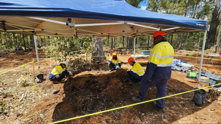
While the fieldwork was classified as a Supplementary Survey under the Environmental Protection Authority (EPA) Act (due to its winter schedule deviating from the optimal spring surveying period), our methodology was no less rigorous:
- Systematic Transects: Our team methodically examined 150-meter transect lines, branching off from existing tracks and spaced approximately 100 meters apart.
- Targeted Sampling: Within these transects, we recorded the presence and density of weed species inside a precise 10-meter radius on either side, ensuring reliable sampling of the vegetative community.
Precision Mapping for Targeted Control
For expansive weed populations, we utilised precision mapping techniques. By delineating polygons, we captured the exact size and density of the species, categorizing them into three brackets:
- Low Density: Less than 5% cover.
- Moderate Density: Between 5% and 75% cover.
- High Density: Over 75% cover.
This precise data is crucial for developing cost-effective and environmentally sound weed control strategies, allowing the City of Swan to deploy resources exactly where they are needed most, whether through chemical treatment or manual removal.
A Testament to Environmental Stewardship
Our comprehensive assessment stands as a key deliverable for the City of Swan’s ongoing environmental stewardship commitment. By providing clear, evidence-based data on invasive species at Bells Rapids, we pave the way for informed, targeted rehabilitation efforts.
It is through such expert environmental assessments that we help government clients and land managers effectively safeguard our natural heritage for generations to come.
Do you manage a natural reserve or public land requiring detailed ecological assessments? Contact Trace Enterprises for expertise in Level 2 Flora and Fauna Surveys, EPA Act compliance, and environmental management planning.